Grapes Ready for Picking: Investigating the Readiness of Precision Viticulture Datasets for Scene Reconstruction
Michał Jan Włodarczyk, Katarzyna Wasielewska-Michniewska, Przemysław Hołda, Maria Ganzha,
Marcin Paprzycki, Nico Heider, Martin Schieck, Bogdan Franczyk, Tasuku Makabe, Iori Yanokura, Kei Okada
Sensors, 26(21), 6708, 2026
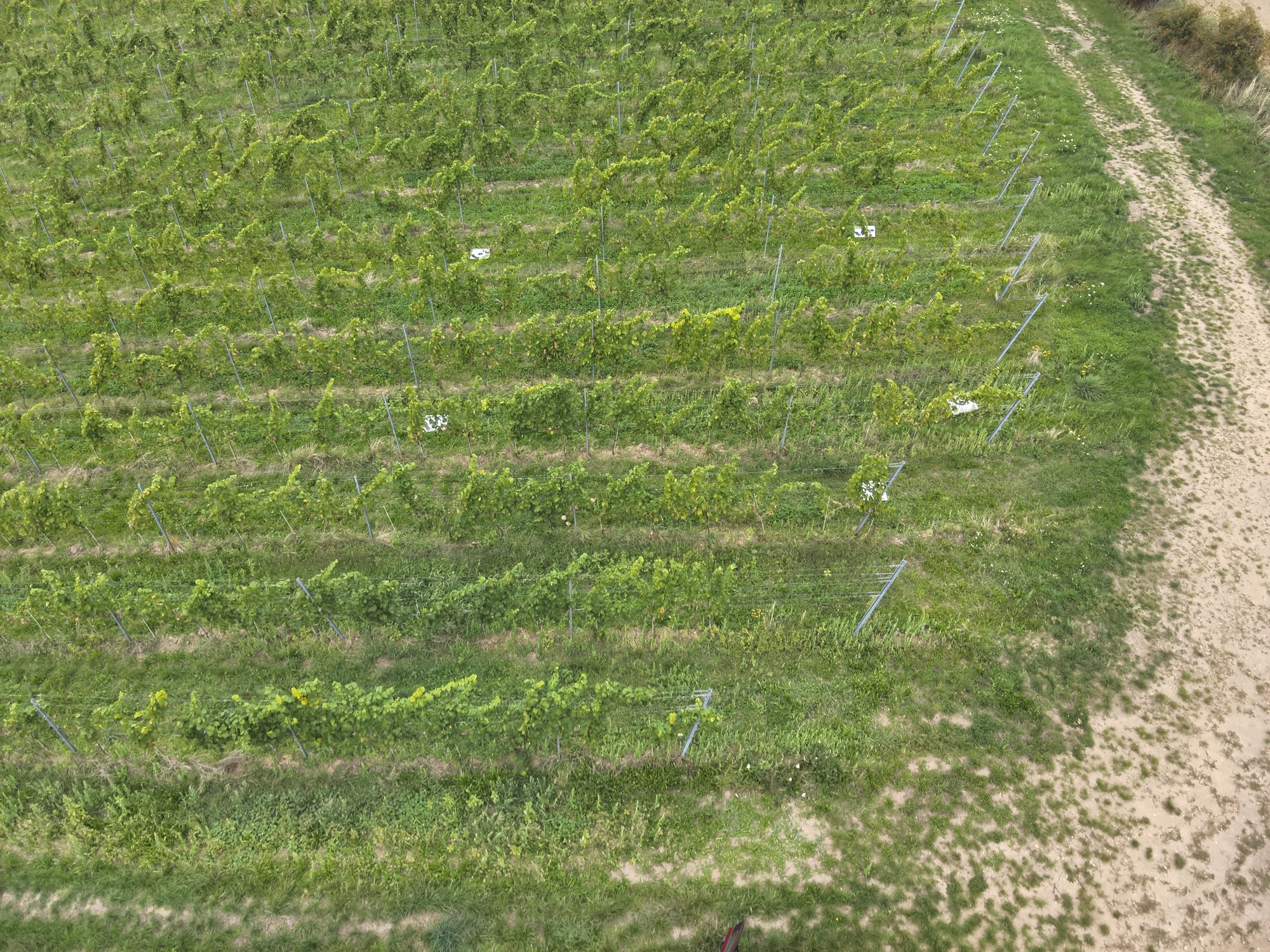
Public datasets of vineyard imagery were collected for detection, segmentation and disease
mapping and are now proposed as a source for 3D scene reconstruction. Their documentation rarely
states the properties that reconstruction depends on, such as view overlap, parallax and frame
spacing, so it is unclear which can be reconstructed. This study measures that for the publicly
available vineyard datasets. A structured search identifies eighteen datasets. Ten are
characterized under a schema of thirty-six documented and measured properties, and only six
contain overlapping views. Every sequence that registers is reconstructed with one fixed pipeline
of structure from motion and 3D Gaussian splatting, giving twenty-seven reconstructions on two
held-out splits. Registration is decided by the capture rather than by the dataset; novel-view
quality varies as much within a dataset as between datasets; and frame spacing is the one capture
property that limits reconstruction. Three preprocessing steps are tested as ablations on the
failure cases. Band alignment restores registration, whereas dehazing a backlit pass and masking
the chassis of a ground robot give no improvement that this study can resolve. The schema and
pipeline apply to any vineyard dataset, and the results are published as an open online catalog.
Practical Considerations and Challenges for Adaptation and Transferability of UAV and AI-based Precision Viticulture
Katarzyna Wasielewska-Michniewska, Przemysław Hołda, Michał Jan Włodarczyk, Maria Ganzha,
Marcin Paprzycki, Nico Heider, Martin Schieck, Bogdan Franczyk, Tasuku Makabe, Iori Yanokura,
Kei Okada, Barbara Wiza
In recent years, automation and optimization in the domain of Precision
Viticulture (PV) have motivated extensive research on AI-based UAV-supported
methods for tasks such as yield estimation, disease detection, field
monitoring, and spraying. The literature includes evidence from simulation
and real-world deployments that demonstrate the benefits of PV solutions.
However, the transferability across sites and generalization of the proposed
solutions still remain open challenges. Among others, even though numerous
public datasets are available and methods have been identified to address
key problems, PV systems are usually targeted at a single deployment. While
existing review papers primarily focus on technological developments,
application scenarios, and methodological advances in PV, UAV systems, and
AI, comparatively less attention has been devoted to the practical factors
affecting the transferability of these solutions across different vineyard
environments. To address this gap, this paper adopts a deployment-oriented
perspective, examining the key factors and considerations that influence the
transferability and generalization of AI-based UAV solutions in PV. Rather
than reviewing individual methods solely in terms of their performance, the
contribution focuses on identifying practical challenges and considerations
relevant to assessing and improving their applicability across different
deployment scenarios.
Literature library
Semantic Radiance Fields as Simulators for Spatial Reasoning in Real-World Scenes
Nico Heider, Michał Jan Włodarczyk, Katarzyna Wasielewska-Michniewska, Przemysław Hołda,
Martin Schieck, Marcin Paprzycki, Maria Ganzha, Bogdan Franczyk
IJCAI Spatio-Temporal Reasoning and Learning Workshop (STRL), 2026
Training and evaluating spatial reasoning in embodied agents requires diverse environments that
are both geometrically faithful and semantically queryable. Synthetic simulators offer ground
truth semantics but sacrifice realism; simulators based on reconstructions of real-world
environments have realistic appearance but lack ground truth semantics by default. We propose
using Semantic Radiance Fields (SRF) as simulators for spatial reasoning agents, lifting 2D
semantic segmentations from pretrained vision models into a 3D radiance field that jointly
encodes geometry, appearance, and per-class semantic identity. As an example application, we
outline an SRF-driven simulator for an orchard apple-reaching task, in which the radiance field
supplies camera rendering, semantic ground truth, and occupancy queries to a physics engine.
Read on arXiv